Models to Assist in Fuels Planning
Brandon Caltrider Biology/Ecology student at Northern Michigan University (expected graduation spring 2021) Volunteer with the Conservation Data Lab
Goals of presentation
- Cue up conversation about future learning and tool use opportunities
- Share how LANDFIRE source Data is relevant to each model
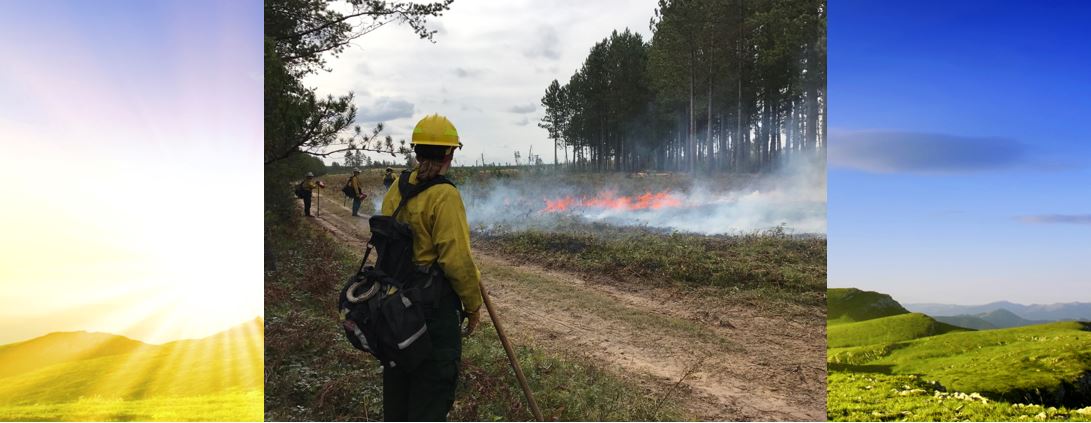
- Explore four fire behavior models that may or may not be of use to the Ottawa National Forest
Method to the Madness
Initial research yielded a wealth of tools that seemed to fit into three categories; preventative, active, and emissions modeling.
Blue Sky Framework
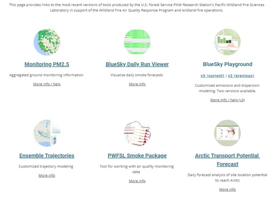
- Web based platform that supports emissions planning through ground monitoring networks, daily smoke forecasts, and customized emissions modeling
- Produces easily digestible graphics and maps
Creating a Landscape in BlueSky
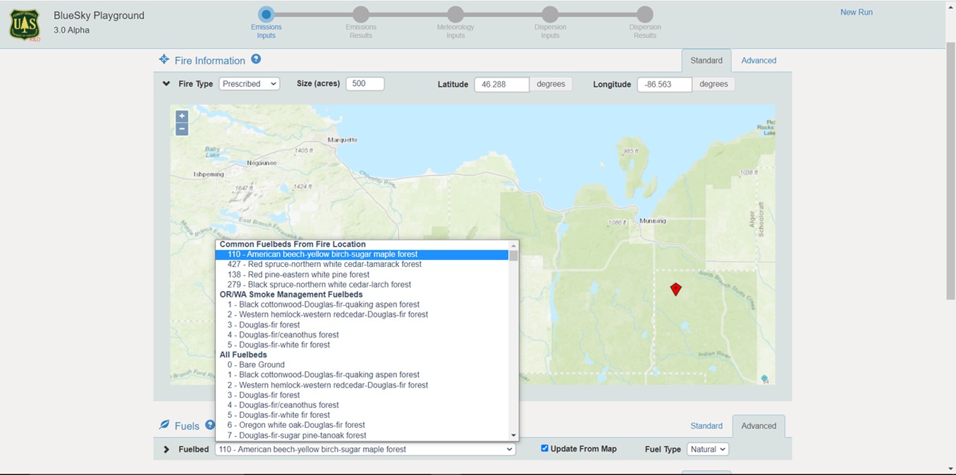
- BlueSky’s Modeling Playground pulls source data from LANDFIRE'S FCCS (Fuel Characteristic Classification System)
BlueSky Emissions Outputs
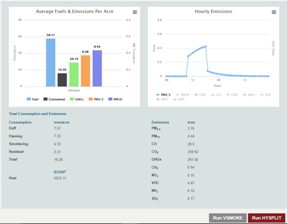
- Total GHG, PM 2.5, and PM 10.0 released are compiled into an easily digestible graphic
- Emissions are also visualized in tons per hour
Fuel and Fire Tools 3.0 (FFT)
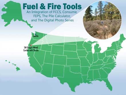
- A desktop application that is capable of preventative and active emissions modeling using LANDFIRE data
- Creation of custom fuelbeds for a burn unit of interest can be conducted easily
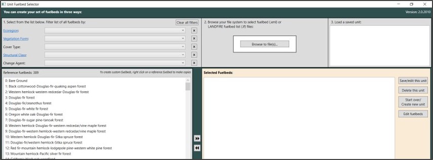
Fuel and Fire Tools 3.0 Interface
- This tool can yield high resolution emissions modeling for prescribed burns before they occur.
- Managers can upload a shapefile of the AoI and quickly generate representative outputs
Landscapes in FFT 3.0
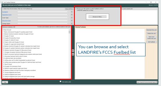
- This slide shows the user interface for FFT3.0 where users build customized Burn Unit; e.g a planned prescribed burn.
FlamMap6
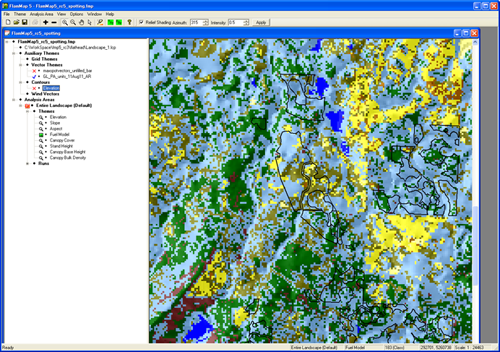
- A desktop application capable of preventative and active fire behavior modeling
- Outputs including fire behavior metrics like Minimum Travel Time, Flame Length, and Line Intensity can be calculated and explored Google Earth
IFTDSS (Interagency Fuel Treatment Determination System)
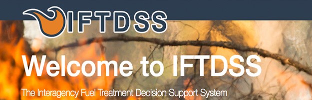
- Interactive web based application that allows for fire behavior modeling and burn probability modeling
- Users simply input a shapefile of the proposed AOI from which IFTDSS then builds a landscape using LANDFIRE derived data
- Outputs of btu/unit area, and flame length can then be immediately explored in an online interactive map
the Conservation Data Lab (CDL)
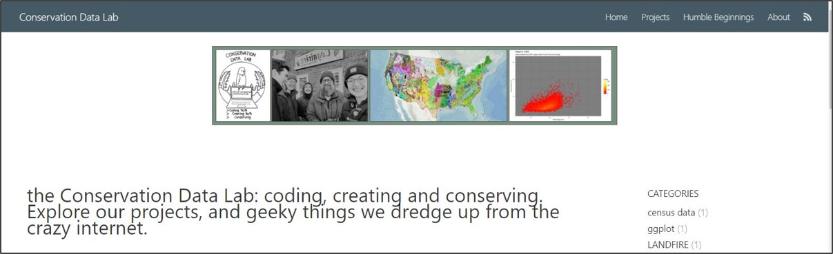
- Is a team focused on creating products that push conservation forward.
- For example, Myles Walimaa wrote R code that can process the raster data inputs needed for development of custom fuelbeds to use in FFT 3.0
- The CDL can help you take outputs from fuel modeling tools and create infographics, dashboards or interactive charts